Photos and story by Collin Hall
- 3.4 miles if you walk the whole beach and back
- Trailhead and parking on 2nd Avenue / 122nd Street, Stone Harbor
- Land owned and protected by the borough of Stone Harbor
Stone Harbor Point, a speck of conserved land on an island largely defined by lavish, mostly empty, second homes, makes for a great sunset walk if you don’t mind the whiplash.
The Stone Harbor Point parking lot has plentiful parking if you go any time besides peak summer. This is a peaceful place where migrating shore birds, waterfowl, nature walkers, birders, and the occasional pack of teens come to enjoy our county’s fiercely beautiful natural landscape. For some of the shore birds, access to preserved land like this is the difference between life and death.
This is one of two places – the other being Stone Harbor Bird Sanctuary – that offers a glimpse at what Stone Harbor looked like before it was settled by Americans.
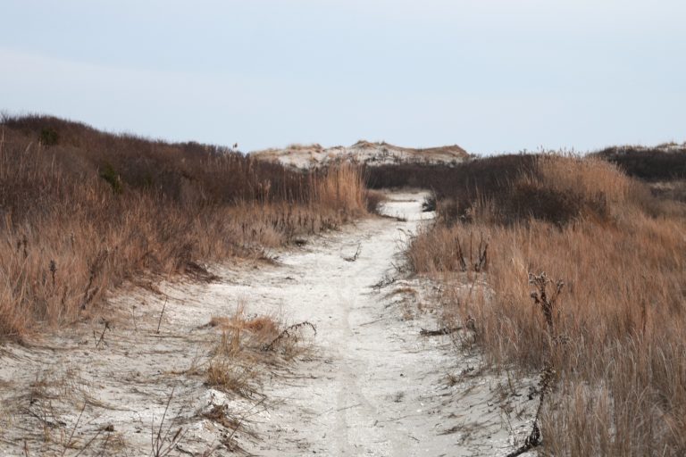
The walk begins with a short clearing through 5- or 6-foot-tall dunes. The dunes are high enough to protect against the shore’s strong winter wind. Even when it’s freezing out, the hardy marsh grasses live on and provide shelter for all sorts of small critters. We spotted several rabbits, lots of waterfowl, squirrels, and small birds hopping around the dunes.
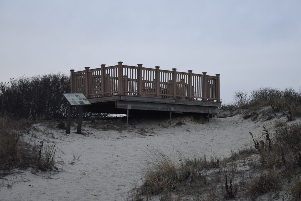
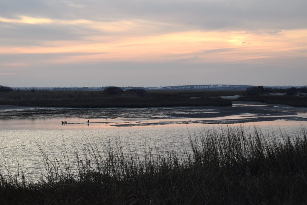
The trail itself is sandy, and there are two bird-spotting platforms. It’s a bit strange how much these platforms resemble a summer house’s back-porch deck. The ornamental notches on the posts scream “BBQ” a bit more than “nature walk,” but they offer great views of the nearby pond and of 5-mile-island just south of the Point.
Stone Harbor Point is one of the best places to see two of Cape May County’s most impressive bridges, first being North Wildwood’s federally funded Grassy Sound bride. This is one of the biggest bridges in the county; it crests over the landscape, and even from miles away is an immediately impressive feat of engineering.
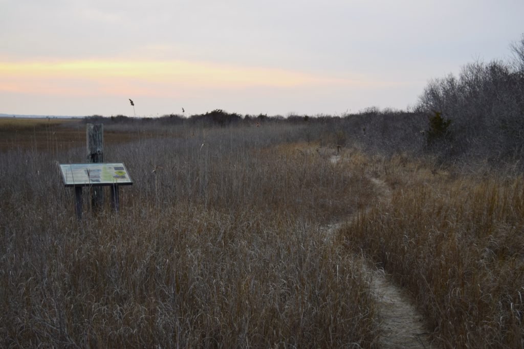
To get a good view of Stone Harbor’s 96th street bridge, take a right at big pond and head north through some obviously less-traveled trails. You know you’re heading the right way if you, after the pond right turn, see an old nature-info plaque on your left and a lightly-traveled trail through marsh grass on your right. Follow the trail and you’ll be spit out in a clearing that gives you a great view of the inhabited part of Stone Harbor, and of the small, spunky 96th street bridge.
If you continue straight past the pond instead of veering right, you’ll quickly run into the “end” of the main trail. This trail, at one point, transitioned smoothly onto the protected beach. When Alltrails or other trail sites count this as a 3.4 mile hike, they count the beach as part of the trek. But a series of bad storms eroded much of the beach; the end of the trail now has a sharp incline down to the beach with caution tape warning hikers not to fall. You have to go around the caution tape to get to the “rest” of the walk.

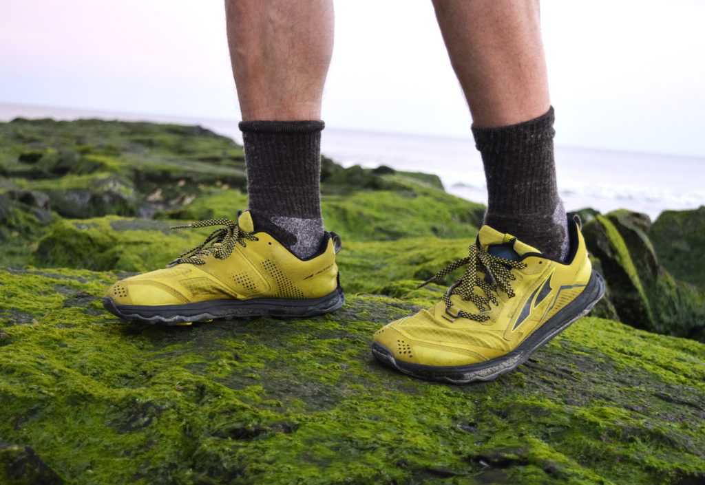
Take a left at the caution tape and you’ll be at the most interesting part of the hike: Stone Harbor’s mossy green jetty. The jetty did its job well; it stopped erosion in spectacular fashion on the bathing side of the beach. The jetty – with varying sand heights on each side – is a great spot to take photos or to look down at the conserved (no swimming) part of the beach. If you’re patient, you’ll spot plenty of shorebirds from here.
It’s easy to be cynical about the ghostly 7-mile island. I drove here on a Tuesday afternoon and hardly saw any signs of life in the hundreds of multi-million dollars houses that litter the roadside as I approached the nature conservation. Stone Harbor Point is a beautiful place with life-affirming natural views; it’s a shame more people don’t live here year-round to appreciate it.
