Photos and story by Collin Hall
–
Trailhead at the end of Bayshore Road on Cape Island, end of county road 607
The total walk is around a mile but can be longer if you follow the red diamond path.
Cape May’s canal might play second fiddle to the more popular tourist attraction, the Atlantic Ocean, but several small, protected trails that run adjacent to the canal give visitors an opportunity to see Cape Island from a different perspective.
Access and Parking
The trails in question, part of the Higbee Beach Wildlife Management Area, are easily accessible at the end of the island portion of Bayshore Road, also known as county road 607. Make sure you’re on the island itself and not on the small mainland section of 607. You’ll know you’re in the right spot when you hit the end of the road and can see large houses on your right, a forest to your left, and a metal roads-end barrier in front of you surrounded by “NO PARKING!” signs. The whole ‘no parking thing’ is a bit of a bummer, but creative minds can find ways to bike here or find nearby parking.
The Trail
The trails start due west of the road’s end; you’ll have to jump down a little bit into the forested section of the roadside. The first portion here has a few offshoots, the right-most of which gives direct access to the canal itself. Let’s start here. Follow that right-most trail until you see a small spot to jump down onto the sandy ‘beach’ (can we call it that?) of the Cape May Canal.
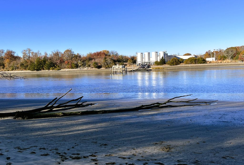
The canal itself is a relic of the Second World War; it was built to protect allied vessels from peeping offshore German U-boats. Now, it serves as a popular dog-walking destination. Thanks, troops.
Once you’re on the canal, you’ll spot three upright metal containers on the other side; those are part of a Rutgers aquaculture center that helps research best practices for New Jersey’s multi-million-dollar aquaculture industry.
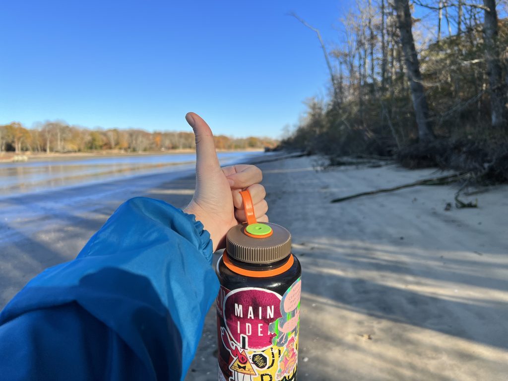
Keep walking west along the sand and you’ll find a small sandy clearing surrounded by marsh grass. This is a great spot to read a book (Philip K. Dick’s Three Stigmata of Palmer Eldritch is great) or to have a picnic. The canal is popular with fishermen in the summer, but if you come here during non-peak months you’ll probably be alone.
Circle your way back to the small jump where you dropped down onto the sand and head back into the forest. You’ll find a small clearing that cuts right through a spurt of marsh reeds. There should be wooden planks that you can walk across through the reeds.
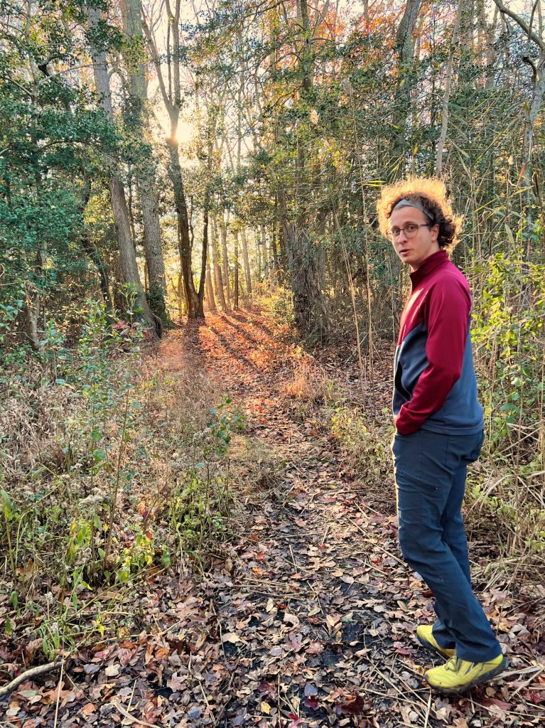
Follow this road and you’ll end up in the middle of a grassy road. This portion of the trail is thoroughly lit just before sunset, and for this stretch of the walk you will be surrounded by fauna, including hulking maples, Phragmites (common marsh reeds), evergreen hollies, and other familiar plants.
Summary
This walk is brief but beautiful and is good for walkers of all skill level and outdoor tolerance. None of the trails in Cape May County are very long. We might live in a rural part of New Jersey, but it’s still the densest state in the nation. This short hike takes you through a variety of scenes; one moment you’re in a residential section of Cape Island, the next you’re on the beaches of a historic canal, and if you explore a bit, you’ll be surrounded on all sides by a forest dense enough to give you a nature kick.
If you’re a local, this is a great way to get to know the canal any time of year. And if you’re just visiting, this is a fun way to see a wartime project would later come to define the island’s landscape.